Digitalising Commons
Transformative Technologies for Land Justice
Digitalising commons: transformative technologies for land justice
We are thrilled to share that the project proposal ‘Digitalising Commons: Transformative Technologies for Land Justice’ has been awarded funding by Research England (UKRI) through the UCL Research Progression Award. This project is in collaboration with Faith Alubbe, Brian Miheso, and Juspah Mwaisaka (Kenya Land Alliance), Isaac Tobiko and Sam Oluru (Natero Latia) and Catherine Gateri and Peter Gathoni (British Institute in Eastern Africa). We aim to collaboratively define just land administration within the Maasai common lands and develop data and tools that help put this into practice.
Despite national and multilateral efforts to improve land governance, including surveying unmapped lands, establishing a digital land information system, and setting up geo-information labs, Kenya's land sector continues to struggle with conflict, corruption, and mismanagement. This dampens growth potential on a national scale, as well as the ability of individuals to invest in housing and economic activity. This hits women, ethnic minorities, and rural residents the hardest. Moreover, the information infrastructures available to the state prioritise the registration of private property over communal property and rarely acknowledge the presence of informalised communities or Indigenous group ranches. As these categories encompass the majority of Kenya’s land and population, this raises the question of for whom these land information management systems are designed.
Using co-creation methodologies, this project aims to identify the affordances of digital technologies for land administration developed by the state and explore potential design principles to address injustices in Kenya’s land sector. In doing so, we address persisting questions in land administration, exploring how digitalisation processes can move away from objectivity and universal rationality to accommodate the land ownership structures and values of communities. Collaborating with the Torosei Maasai community and civil society organisations Nareto Latia and Kenya Land Alliance, as well as the British Institute in Eastern Africa, the project aimed to support their advocacy work towards the consolidation of land rights for Indigenous communities in Kenya.
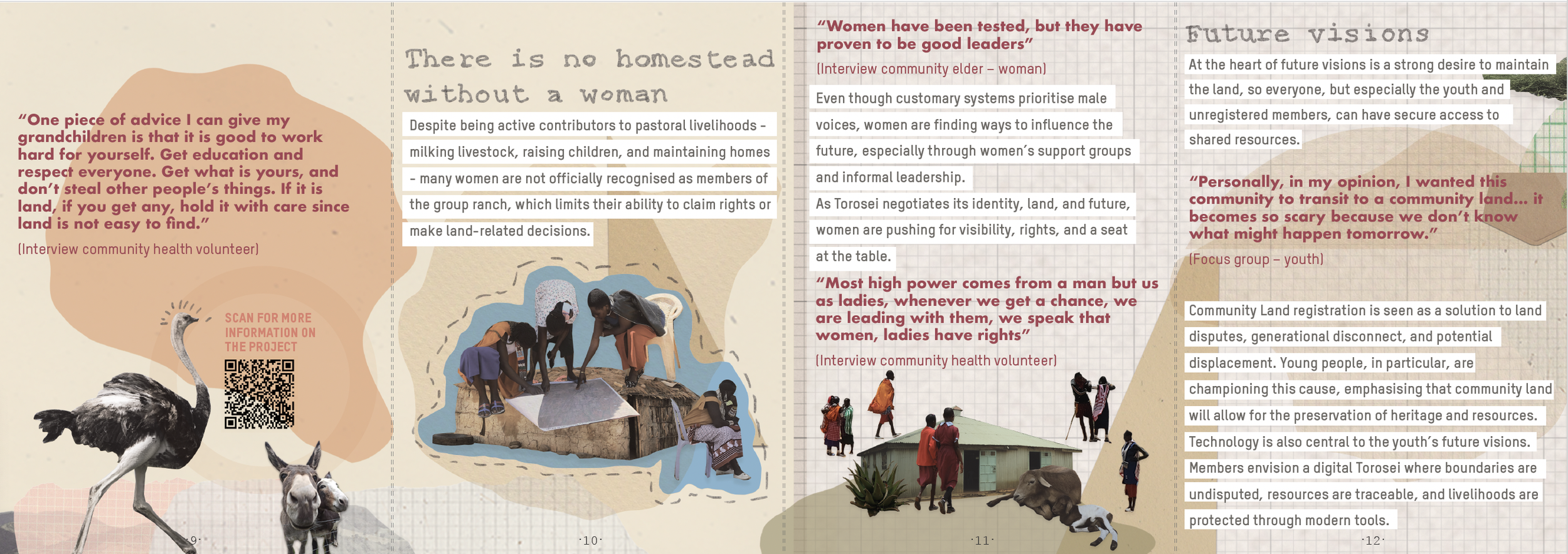
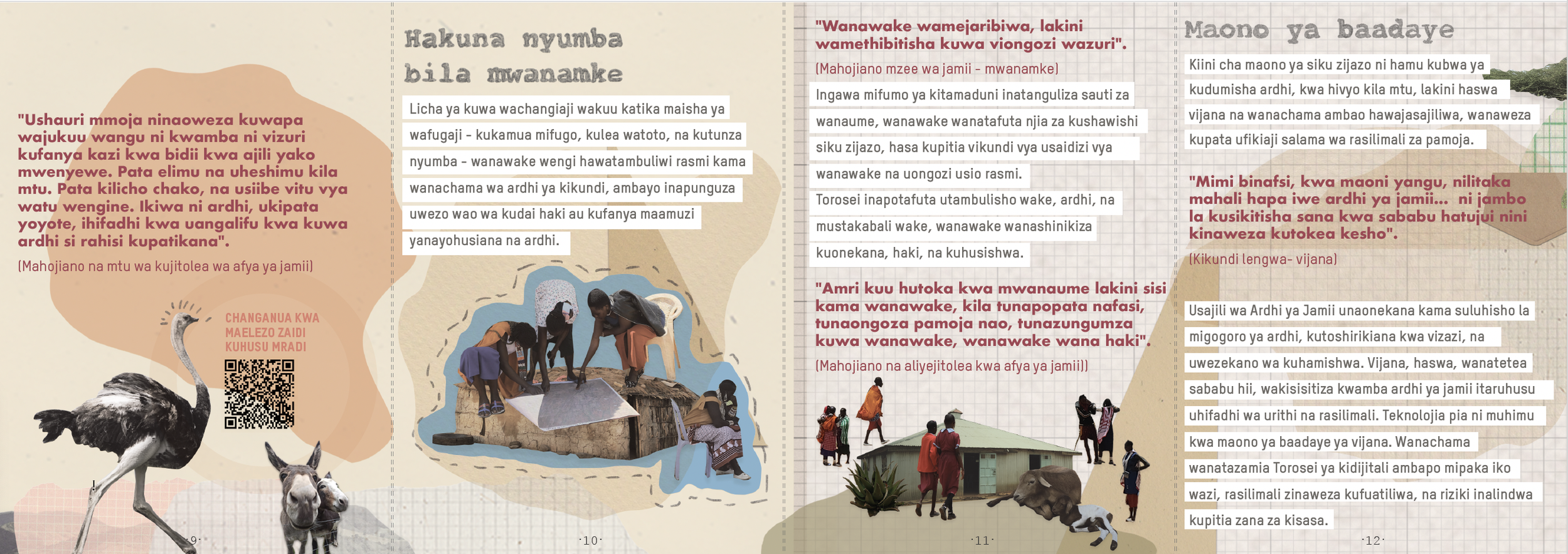
This resulted in a variety of outputs. First of all, we collectively mapped the resources within Torosei. Creating a resource map, or sketch map, is one of the critical first steps in the application for registration as a community land in Kenya. Alongside the community register, a letter from a notary, and a letter from the community council, the resource map forms part of the files submitted during the initial application. Providing this map to the community thus removes one barrier to this application, which would otherwise have been a costly endeavour, and hopefully brings them a step closer to securing future land rights.
Secondly, we have translated the experiences during the resource mapping exercise into an online story map and a printed zine. As histories of Torosei have been passed down through generations orally, and society is changing rapidly, we wanted to capture some of the stories shared in ways that can be shared within the community and beyond. We hope you enjoy the visual and verbal stories told in these resources.
The zine We are Torosei is available in Swahili (right) and English (left). Although the PDF version contains all the information, it is best seen printed and folded, and we’d love for you to do that! Here you can find a tutorial on how to fold the zine. All design and graphics are made by Verónica Posada Álvarez.